Akulivik, Nunavik
Year(s) Funded: 2012-2013
Topic Area: Access to Land Contact: Adam Lewis, Makivik Corporation ([email protected]) Partners: Makivik Corporation, Qekeirriaq Landholding Corporation, Strata 360 Website: http://www.makivik.org Title: Real-time Monitoring for Travel Safety and Food Security in Akulivik, Nunavik
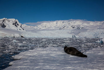
Action: The biggest community concern in Akulivik is the safety of the hunters and fishermen. If the ice is too thin to travel on, marine species become scarce (seal for example). Thin ice and the resultant lack of marine species results in hunters and fisherman taking chances they would normally not. Through a series of interviews Traditional Ecological Knowledge (TEK) was collected to identify the most frequently used hunting and fishing grounds in winter and key winter travel routes to these locations. This information was compiled and used to identify ideal locations to install field monitoring equipment, including weather stations. The project provides real-time access of conditions along travel routes and integrates live images of conditions throughout the community trail system. Results: Currently, over 400 hunters have been interviewed leading to over 70,000 spatial records stored in a Geographic Information System (GIS). Monitoring of ice conditions along key travel routes and lakes is expected to improve safety, allow for more efficient decision-making, reduce the number of accidents, provide better and more secure access to traditional foods, and raise awareness of climate change impacts within the local Inuit population. Outputs: A GIS database and maps of traditional hunting areas and travel routes and a web-portal with real-time weather data for relevant travel routes were created. |
|